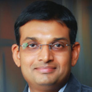
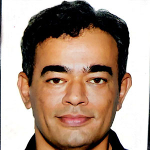
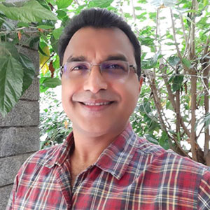
The workshop on Harnessing the Power of Remote Sensing Data delved into the transformative potential of remote sensing technologies in various sectors, including environmental monitoring, urban planning, and disaster management. Participants were exposed to techniques for data acquisition, processing, and analysis, gaining hands-on experience with tools that enable precise, large-scale observations of the Earth’s surface. This session provided valuable insights into how remote sensing data can be effectively utilised to drive informed decision-making and innovation.
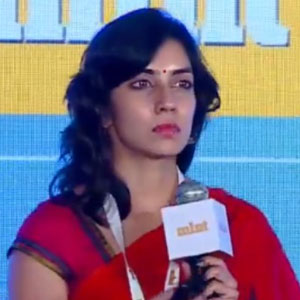
Speaker – 1
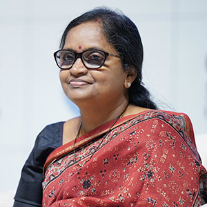
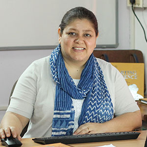
Ms. Manju Sarma, Dr Brahm Prakash Professor, NRSC/ISRO
Ms. Manju Sarma expressed gratitude to the organisers of the event and began by emphasising the importance of remote sensing data, which is crucial for geospatial analytics and understanding the Earth’s health, linked to public well-being. She highlighted the role of earth observation data in monitoring sustainable development goals (SDGs), contributing both to public good and economic activities across sectors such as agriculture, insurance, defence, and infrastructure.
The speaker explained the roles played by different entities in the data ecosystem, from earth data providers (government, space industry) who collect data via satellites, drones, etc., to intermediary industries and academics who process and apply this data. The motivation is to make data accessible to the public, helping various sectors like agriculture, disaster management, and finance. This entire system contributes to public good by informing policies and initiatives.
She then described the National Remote Sensing Center (NRSC) under ISRO, detailing how satellites gather data, which is processed and disseminated via the web portal “Boonidhi”. She outlined the entire process from satellite conception, payload design, launching, and data acquisition, to daily management of the satellites. NRSC collects data from multiple ground stations, including those at the North and South Poles, and processes vast amounts of data from more than 15 satellites.
The speaker touched on the Indian Space Policy, which now allows free access to high-resolution data for public use, encouraging participation from private industries. Commercial activities are managed by New Space India Limited and Antrix, while NRSC focuses on providing data.
She provided an overview of the different types of data available for various applications, such as agricultural monitoring, disaster management, and urban planning, through platforms like Boonidhi. The integration of satellite data with new technologies like AI and ML is helping create solutions for diverse public good applications.
Finally, the speaker provides insights on how users can access data through the Boonidhi portal, detailing the tools available for ordering and downloading satellite data, along with visualisations and archives from various satellites.
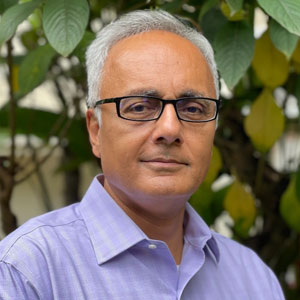
Speaker – 2
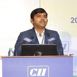
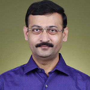
Dr. Iswar Chandra Das, Scientist/Engineer “G” and Group Director, Geosciences Group, National Remote Sensing Centre, ISRO
The speaker discussed the role of remote sensing data, highlighting that it is a tool rather than a final product. As an application scientist at ISRO, his team uses satellite data across various resolutions to generate value-added services for different domains such as agriculture, urban planning, water resources, and geosciences. He emphasised that geospatial data analysis and integration are key for decision-making processes, especially in government sectors.
The speaker focused on their work in the geosciences domain, particularly on mineral exploration, geohazards like landslides and earthquakes, and groundwater sustainability. He elaborated on how ISRO has been involved in national programs related to groundwater management and sustainability, such as the National Drinking Water Technology Mission and the Jal Shakti Abhiyan. He pointed out that, over the last few decades, these programs have significantly reduced the failure rates of borewells by promoting scientific drilling methods, thus saving government resources.
The speaker emphasised that the scientific efforts in mapping groundwater potential across India using remote sensing and hydrogeological data. This mapping, based on parameters like satellite images and digital elevation models, has helped sectors like agriculture and public health engineering identify areas with strong aquifer conditions. As a result, borewell failure rates have significantly decreased, and the program has been successful over the past 20 years.
He mentioned collaborations with the Karnataka government and researchers at IISc for groundwater improvement and mineral exploration, including the use of robotics for sampling in inaccessible areas. The speaker highlighted the creation of a national groundwater prospect map at a 1:50,000 scale, accessible via the Bhuvan geoportal for research and public use.
They explain that India relies heavily on groundwater for irrigation, more so than the U.S. and China combined, which poses sustainability challenges. With 62% groundwater exploitation, he stressed on the need for balanced extraction and recharge through programs like Jal Shakti Abhiyan to ensure long-term aquifer health. The speaker also explained the use of remote sensing techniques for mapping and analysing terrain, aquifers, and mineral deposits across different geological formations.
The speaker then discussed the geological formations and remote sensing, highlighting the differences in minerals like pyroxene, olivine, and quartz based on their formation temperatures. He used an analogy from the 1990s, where an Australian geologist used hard-copy satellite images to identify mineral-rich areas for mining, demonstrating the importance of domain expertise in remote sensing.
He explains how variations in colour on satellite images can reveal information about mineral deposits and vegetation, illustrating how deeper subject knowledge allows for better interpretation of remote sensing data. For instance, water bodies, cracks in rocks, and barriers like “dyes” that restrict groundwater flow can be discerned. Topography, he emphasised, is crucial in interpreting satellite data. He pointed out how certain areas show soft or hard rock based on drainage density, and explains how geological faults, like the Yamuna and Ganga fault lines, have shifted hills over millions of years. Combining theoretical geological knowledge with practical data helps in drawing conclusions about the landscape.
The speaker then shifted the discussion on to groundwater exploitation, explaining how areas like Karnataka and Rajasthan are severely overexploited. He contrasts this with West Bengal, which has abundant water resources but faces quality issues like arsenic contamination. He connected groundwater overuse to agricultural practices and discussed how India’s water resources have become imbalanced over the past few decades, exacerbated by the extensive drilling of borewells post-1980s.
Finally, he touched on efforts to manage groundwater resources at the village level and reflected on how the shift from traditional irrigation methods to borewell-dependent agriculture has worsened water scarcity in many parts of India.


