The GDI Python SDK is a command-line toolkit designed to streamline interaction with the Integrated Geospatial Data Sharing Interface (GDI), accessible at https://catalogue.geospatial.org.in. Built to support a wide range of geospatial workflows, the SDK enables users to efficiently access, process, and manage both vector and raster data within a unified, scriptable environment. With support for various storage backends including MinIO, AWS S3, and local file systems, the SDK adapts well to diverse deployment scenarios, from individual desktop setups to large-scale enterprise cloud systems.
Authentication and Access Control
User access within the SDK is managed through a secure authentication system based on client credentials. Tokens are issued to authenticate users and regulate access to data and services. Role-based access controls ensure that users interact with data in a secure and governed manner, aligning with organizational policies.
Artifact Management and Output Formats
The SDK offers structured artifact management by allowing users to create, store, and retrieve processed vector layers or raster overlays. These artifacts can be versioned and managed across different environments—whether local, S3-compatible, or native cloud storage. Outputs are stored in widely accepted formats: raster data in Cloud Optimized GeoTIFF (COG) and vector data in GeoJSON, ensuring both compatibility and efficiency.
Managing Vector Resources and Operations
The SDK allows users to retrieve vector datasets on demand, either for immediate use or for persistent storage in predefined locations. It supports a wide range of spatial operations, including feature counting, buffering, spatial intersections, and clipping features to defined boundaries. Users can generate Delaunay triangles and Voronoi diagrams, compute geometries such as length, perimeter, and area, and list all available vector datasets for any specified location.
One of the key capabilities of the SDK is the ability to convert vector data into raster formats using attribute-based reducers, such as minimum, maximum, mean, count, density, mode, and others depending on the data type. It also supports the computation of optimal routes by utilizing road network data available in GDI in combination with user-provided points.
Raster Data Management and STAC Integration
GDI’s SDK provides extensive support for raster data through integration with STAC (SpatioTemporal Asset Catalog) services. This integration allows users to search raster collections, retrieve individual assets, and conduct raster-based analyses directly from the command line. The SDK offers utilities to fetch raster data from STAC, giving users streamlined access to satellite imagery, orthoimagery, digital elevation models (DEMs), and other raster resources hosted on the GDI platform.
Raster Utility Functions
The SDK includes a comprehensive suite of raster processing tools. Users can clip raster images using vector features, merge multiple rasters, calculate NDVI for vegetation analysis, and generate flood inundation maps using elevation thresholds. It also supports the creation of contour lines from raster surfaces, the projection of raster values onto vector features as new attributes, slope map generation, and the computation of statistical correlations between two raster layers. These capabilities allow for detailed environmental and terrain analysis and support a variety of Earth observation applications.
Potential Use Cases Across Sectors
The versatility of the GDI Python SDK enables its application across multiple sectors. In disaster management, it can be used to map flood zones using DEMs and identify vulnerable areas by overlaying population and infrastructure data, thereby supporting proactive planning and emergency response.
In agriculture, the SDK supports NDVI-based vegetation health monitoring, crop density estimation, and yield forecasting through zonal statistics, helping inform land use decisions and optimize productivity. For urban planning, it provides tools for optimizing emergency service routes, mapping urban growth, and analyzing infrastructure networks for more sustainable city development.
Environmental and terrain analysis tasks, such as watershed modeling, erosion studies, and forest fragmentation assessments, are made easier through the SDK’s raster and vector tools. It is also well-suited for geospatial data engineering, enabling automated feature extraction workflows and the development of integrated raster-vector analytics pipelines.
In the public sector, the SDK can help integrate land records with geospatial boundaries and assist in planning and governance by mapping the spatial distribution of facilities, resources, and populations.
Conclusion
The GDI Python SDK is a powerful and extensible tool that brings sophisticated geospatial analysis capabilities to the command line. By abstracting away the complexities of backend geospatial infrastructure, it provides analysts, developers, and data engineers with a streamlined and scalable solution for managing and analyzing geospatial data.
Whether used for terrain modeling, environmental monitoring, routing, or statistical spatial analysis, the SDK offers a reproducible and portable framework suitable for both local and cloud-based environments. It stands as a bridge between national-scale geospatial data resources and the day-to-day workflows of users, enabling faster insights and more effective decision-making.
Authors:
Joel Joy
Dr Linda Theres
Related Posts

- GDI
- July 23, 2024
Exploring India’s Wind Patterns using data
India’s energy sector is significantly propelled by its robust indigenous wind power indu ..
- GDI
- April 9, 2025
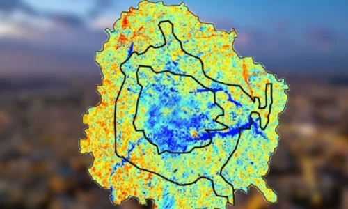
Assessment of Urban Heat Island (UHI) in Bengaluru Using Earth Observation Datasets.
Rapid urbanisation causes several issues, including the Urban Heat Island (UHI) effect, where u ..
- GDI
- March 24, 2025
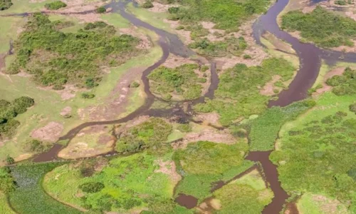
Mapping Natural Drains From Contour Data
Natural drains act as channels that collect and transport surface water, influencing ecosystems ..


