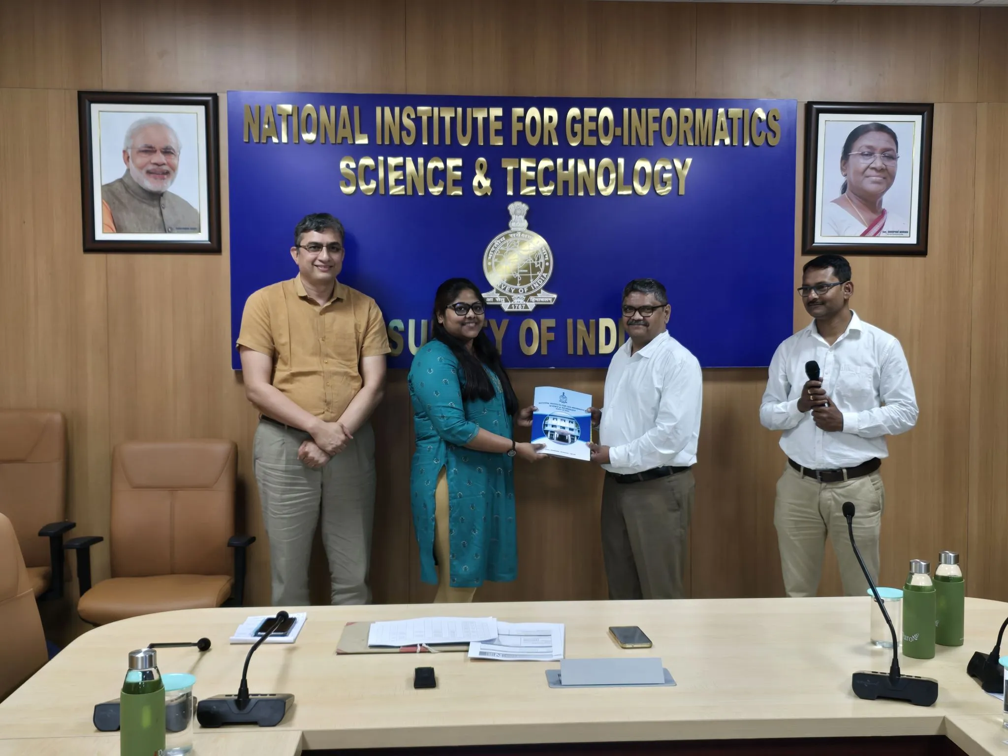
1st Workshop
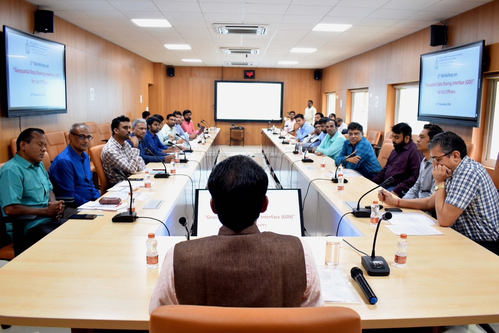
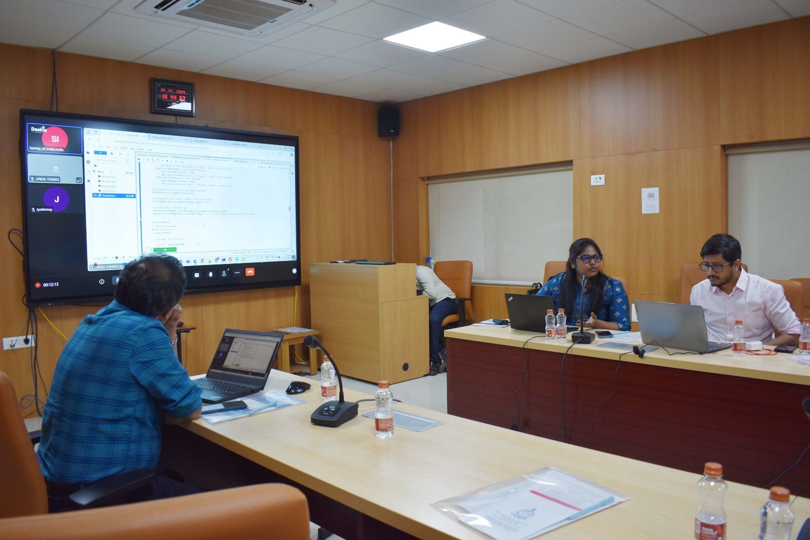
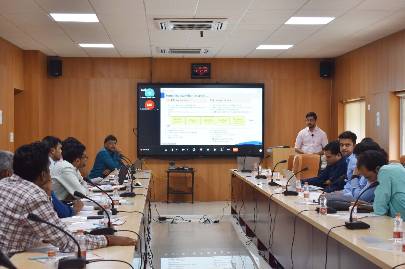
CDPG successfully hosted its inaugural One-Day Workshop on the Integrated Geospatial Data-sharing Interface (GDI) on 14th November 2024. The workshop was held at the National Institute for Geo-Informatics Science & Technology (NIGST) in Hyderabad and was specially curated for officers from the Survey of India (SOI). Bringing together 17 officers from across the country, the workshop focused on equipping participants with a deep understanding of geospatial data exchange frameworks, modern architecture, and open standards. The sessions covered a range of key topics:- The Idea of Data Exchange A deep dive into the National Geospatial Data Registry (NGDR) and Urban Geospatial Infrastructure (UGI), aligning with the goals of the National Geospatial Policy 2022 (NGP-2022).
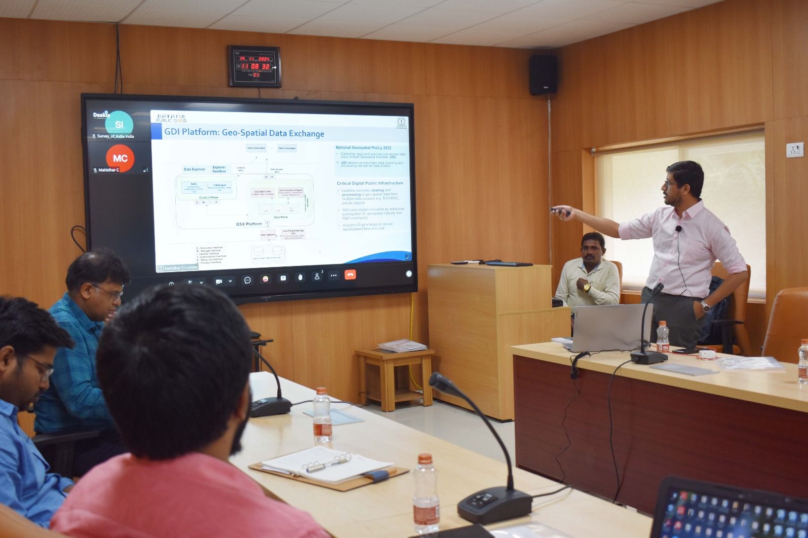
- GDI Architecture An in-depth walkthrough of the platform’s architecture, highlighting its adherence to global geospatial standards such as OGC (Open Geospatial Consortium) and STAC (SpatioTemporal Asset Catalog).
- Data Exchange Technology A technical overview of application processes, integration mechanisms, and real-world challenges in onboarding and managing geospatial data repositories.
- #CDPG Use Cases Demonstrating real-world implementations of GDI that are already contributing to impactful sectoral transformations.
The interactive format of the workshop fostered engaging discussions, particularly among the younger officers, who showed strong interest in the transformative power of geospatial data. The sessions not only informed but inspired—highlighting how strategic data sharing can accelerate development across sectors.
The day concluded with a summary session, participant feedback, and a valedictory ceremony—all underscoring the enthusiasm and promise that geospatial technologies hold for India’s future.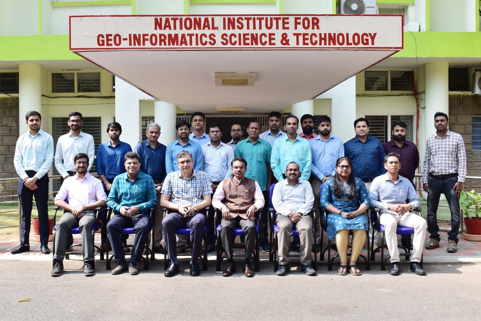
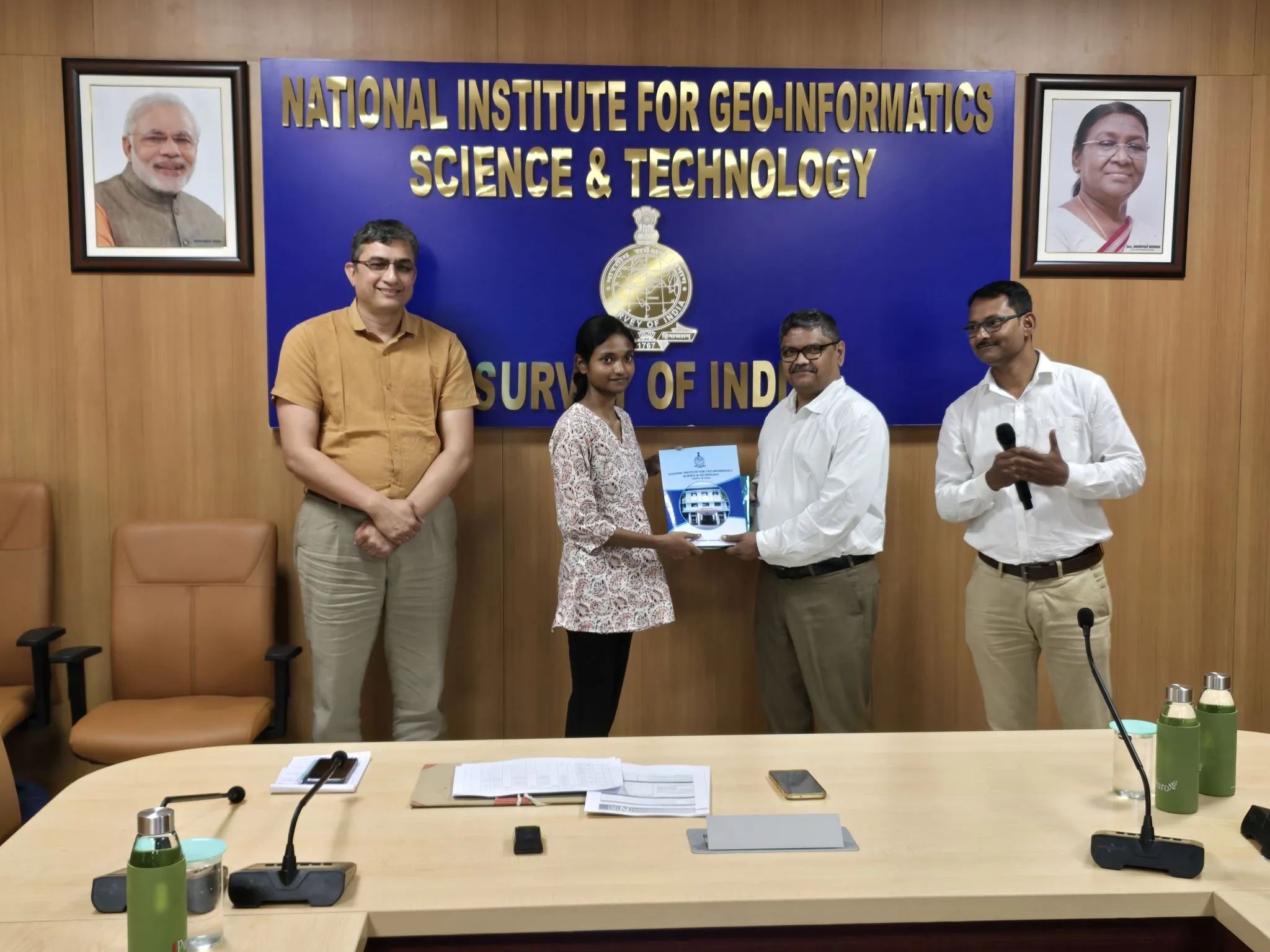
2nd Workshop
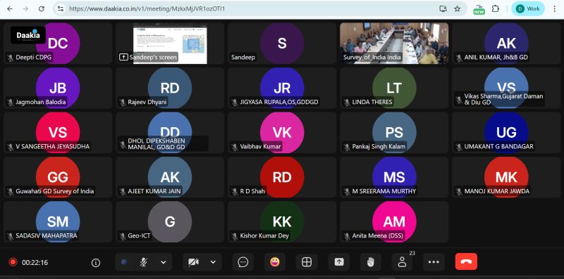
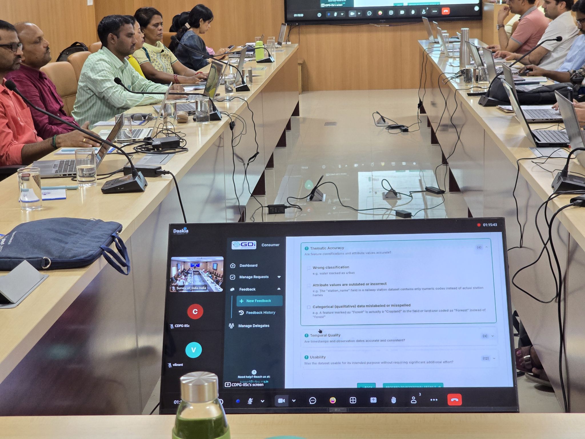
The second workshop for the Survey of India on the Integrated Geospatial Data-sharing Interface (GDI) was conducted on 18th September 2025 at the National Institute for Geo-Informatics Science & Technology (NIGST), Hyderabad (in hybrid mode), specially designed for officers from the Survey of India (SOI). With participation from 35+ officers across the country, the session—led by Mr. Sandeep P, CDPG—provided in-depth insights into geospatial data exchange frameworks, modern architectures, and open standards. The workshop covered:- GDI Architecture and data onboarding flows
- Platform demonstrations
- Use cases and the analytics engine
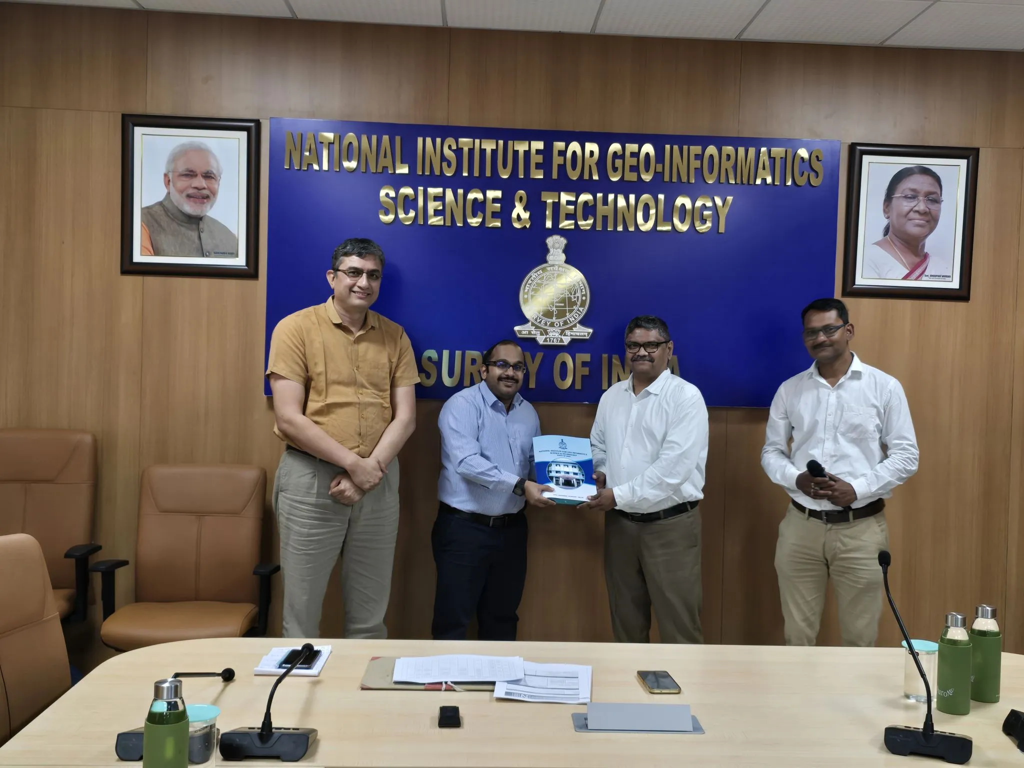
3rd workshop
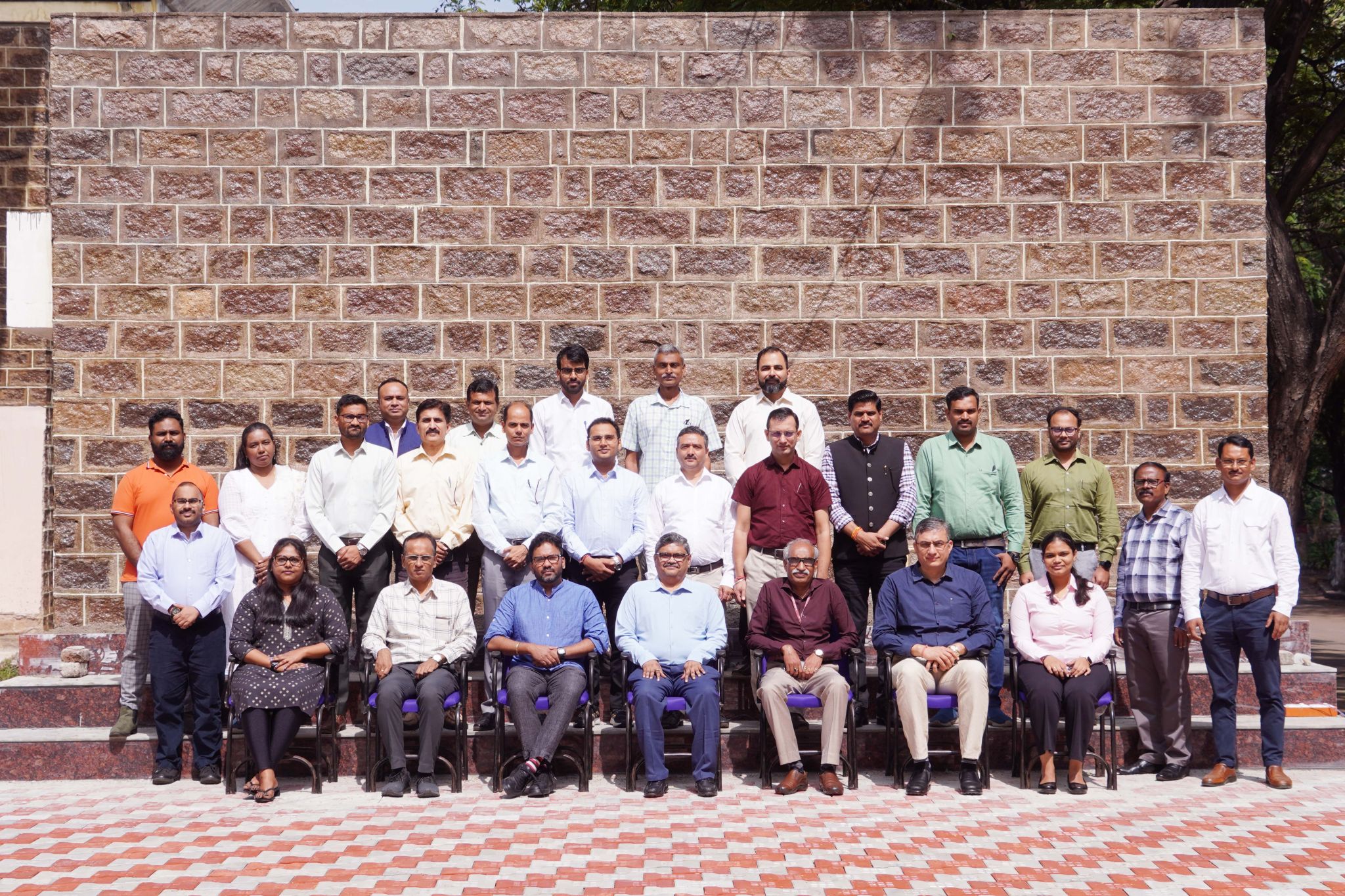
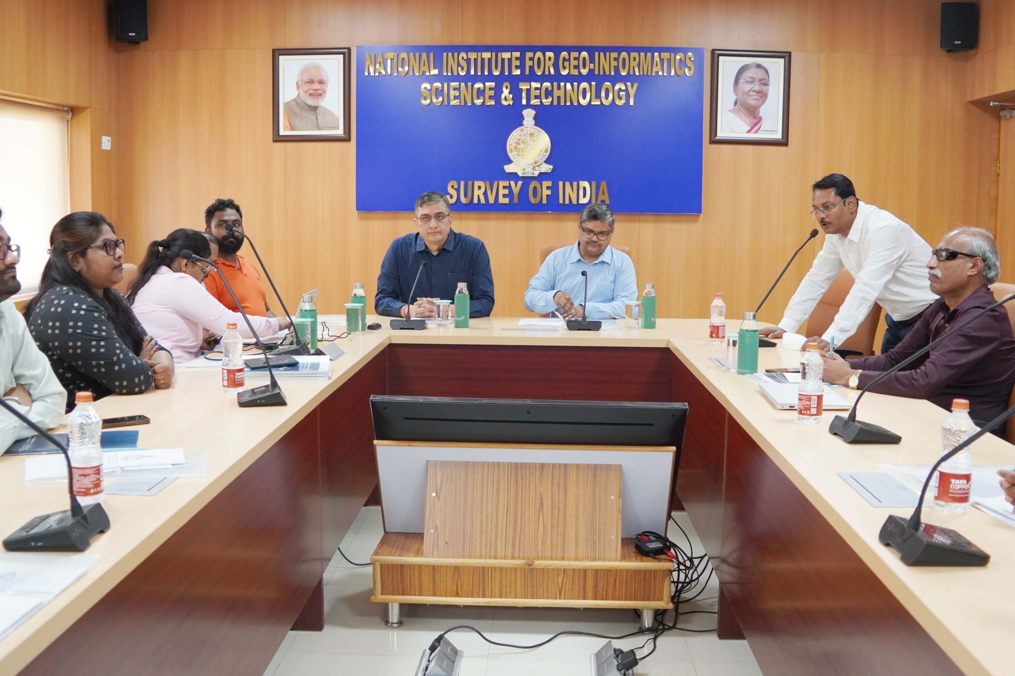
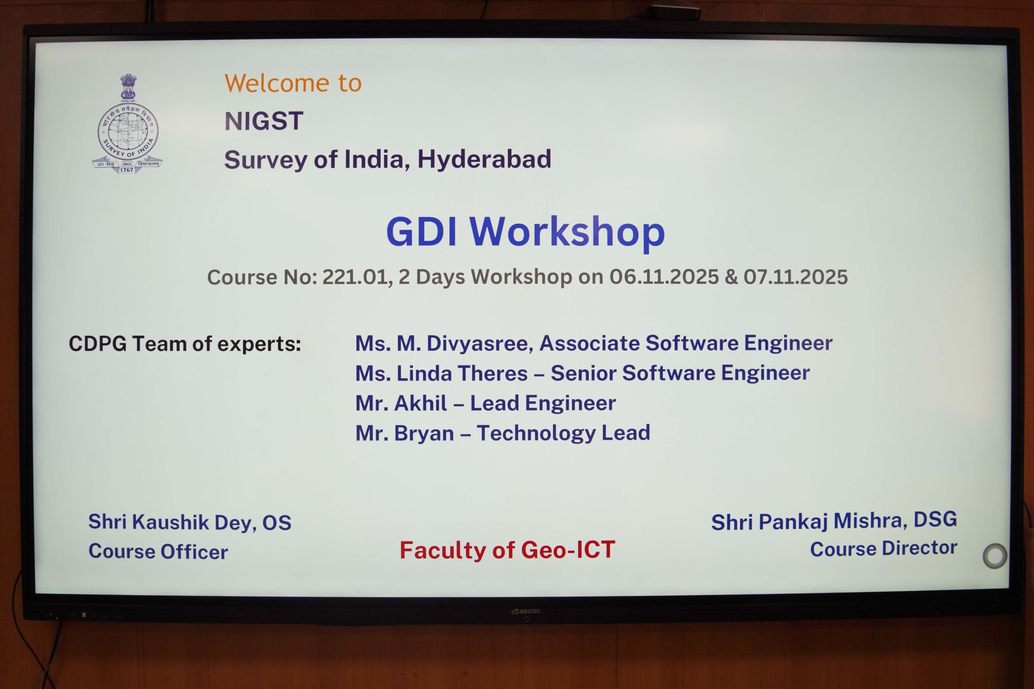
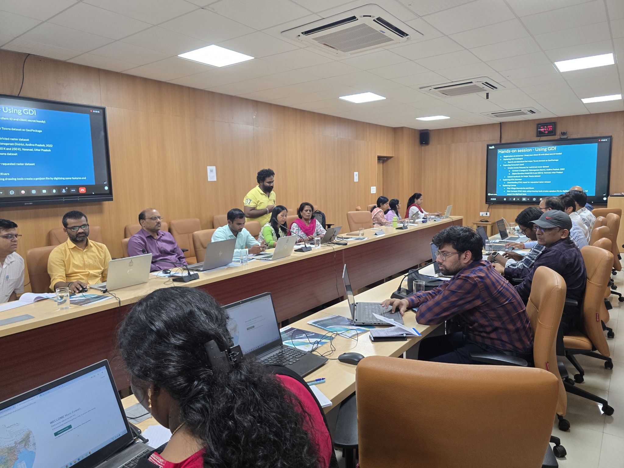
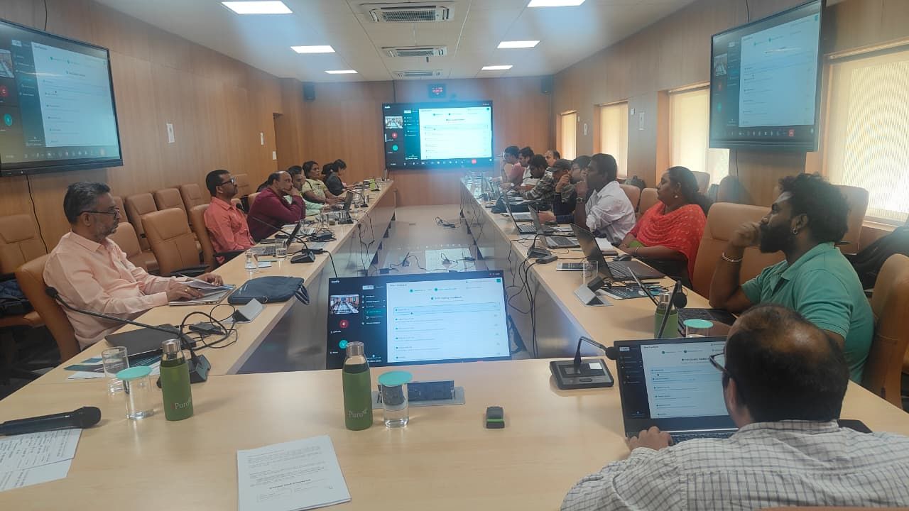
CDPG successfully conducted a detailed two-day in-person workshop on the Integrated Geospatial Data-sharing Interface (GDI) on 6th and 7th November 2025 at the National Institute for Geo-Informatics Science & Technology (NIGST), Hyderabad, specially designed for officers from the Survey of India. With participation from 20+ officers across the country, the session—led by CDPG team —provided in-depth insights into geospatial data exchange frameworks, modern architectures, and open standards. The workshop covered:- GDI Architecture and data onboarding flows
- Platform demonstrations, federated nodes
- Use cases, Sandbox and the analytics engine
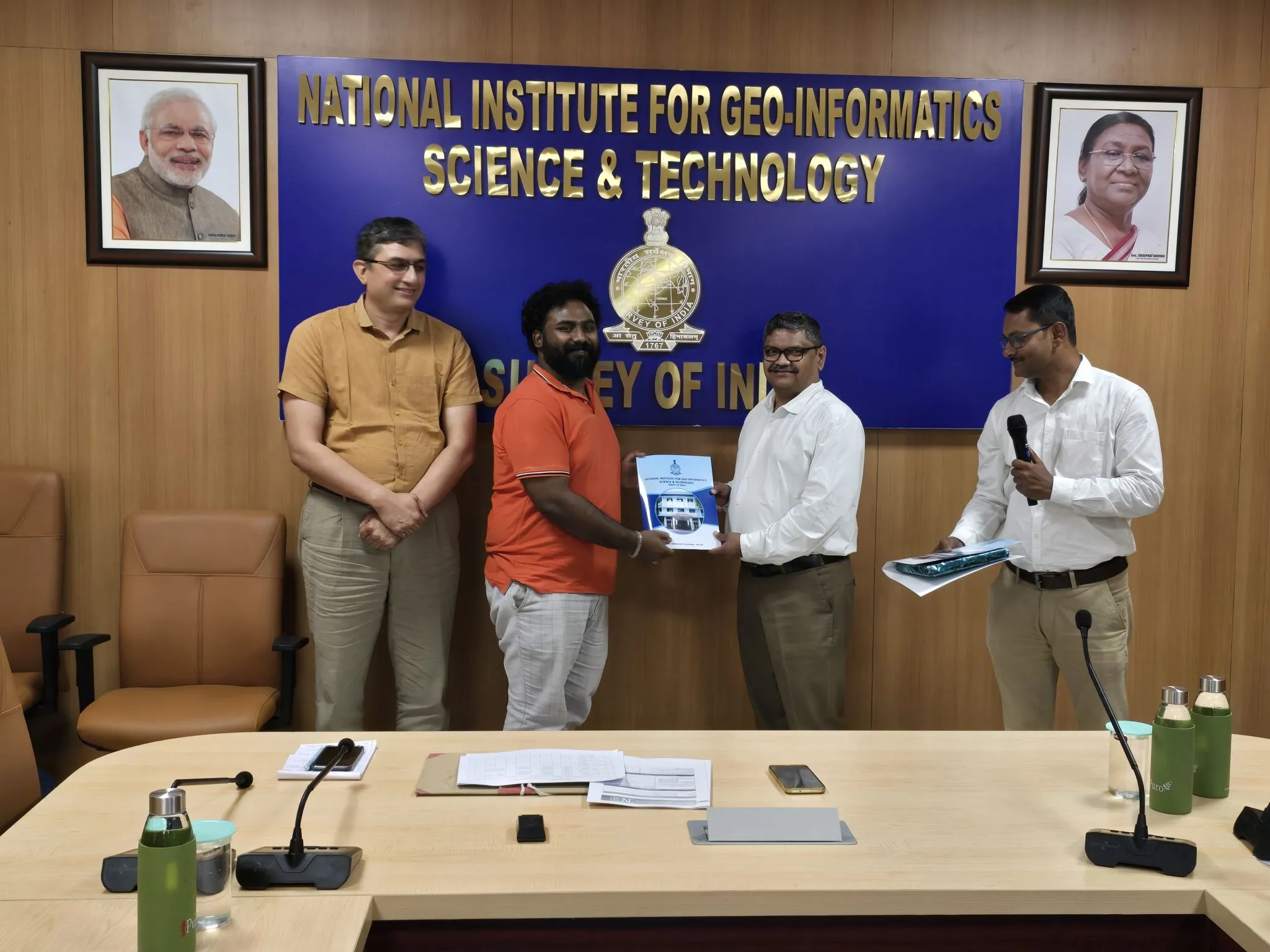
4th Workshop
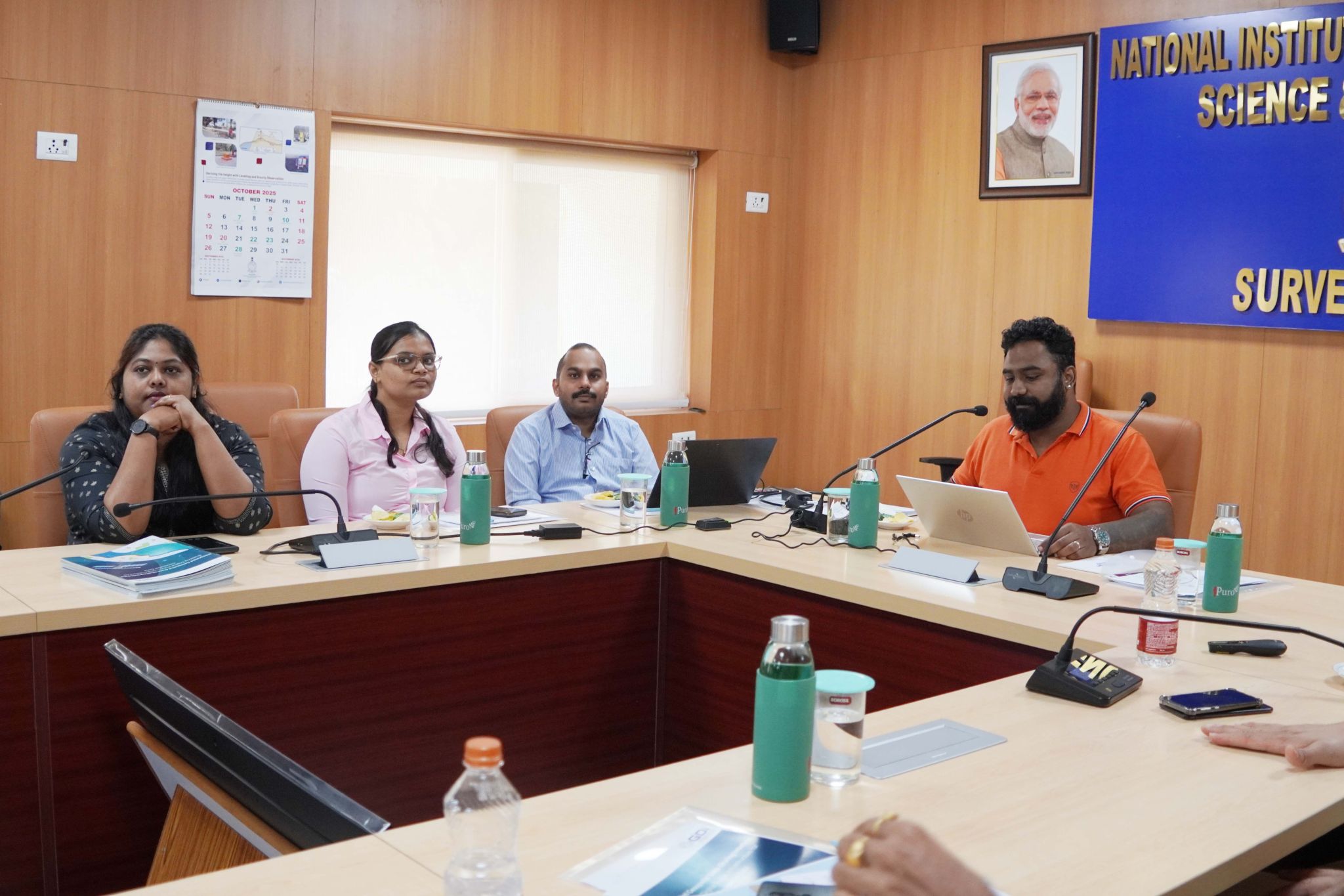
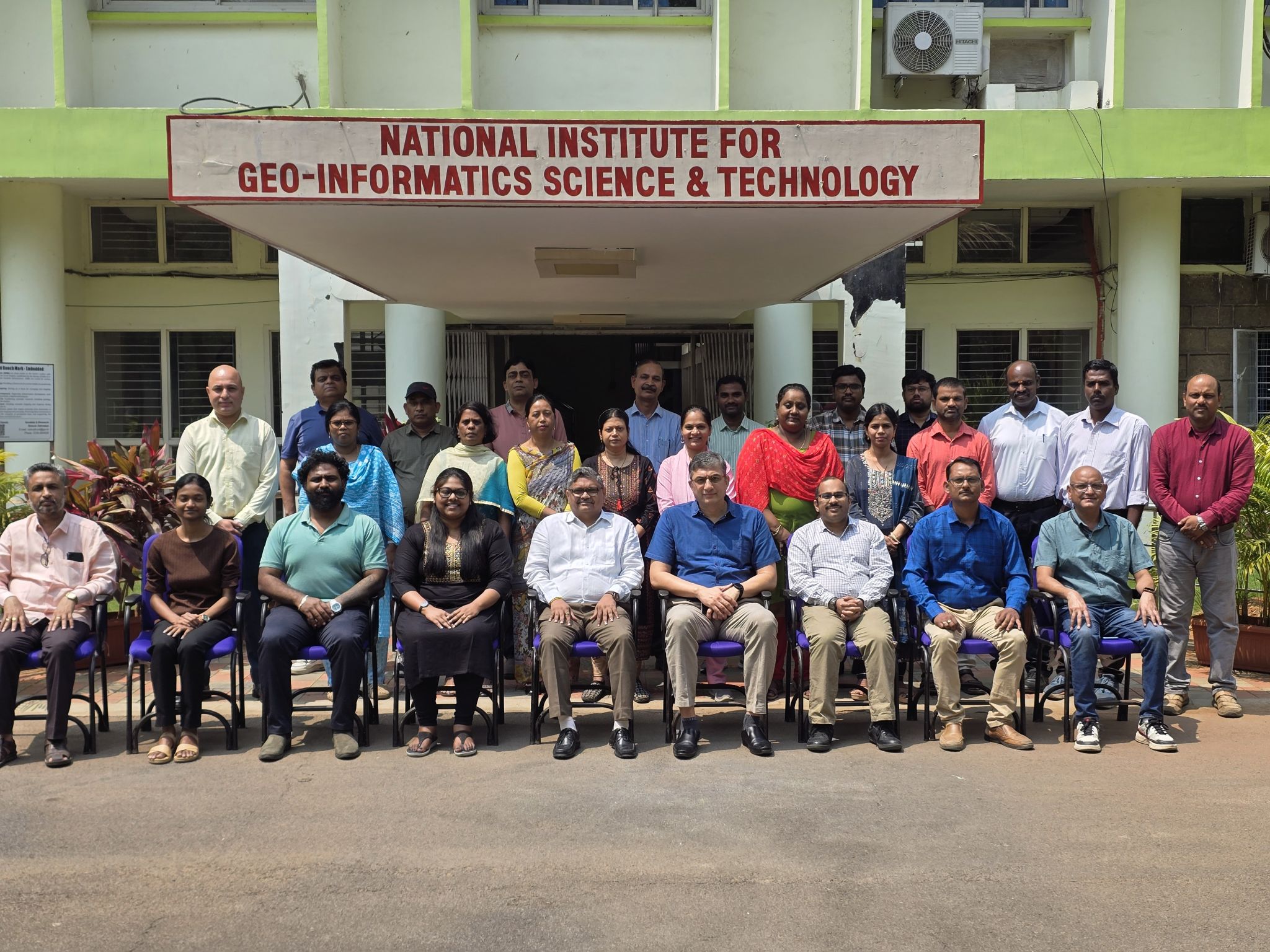
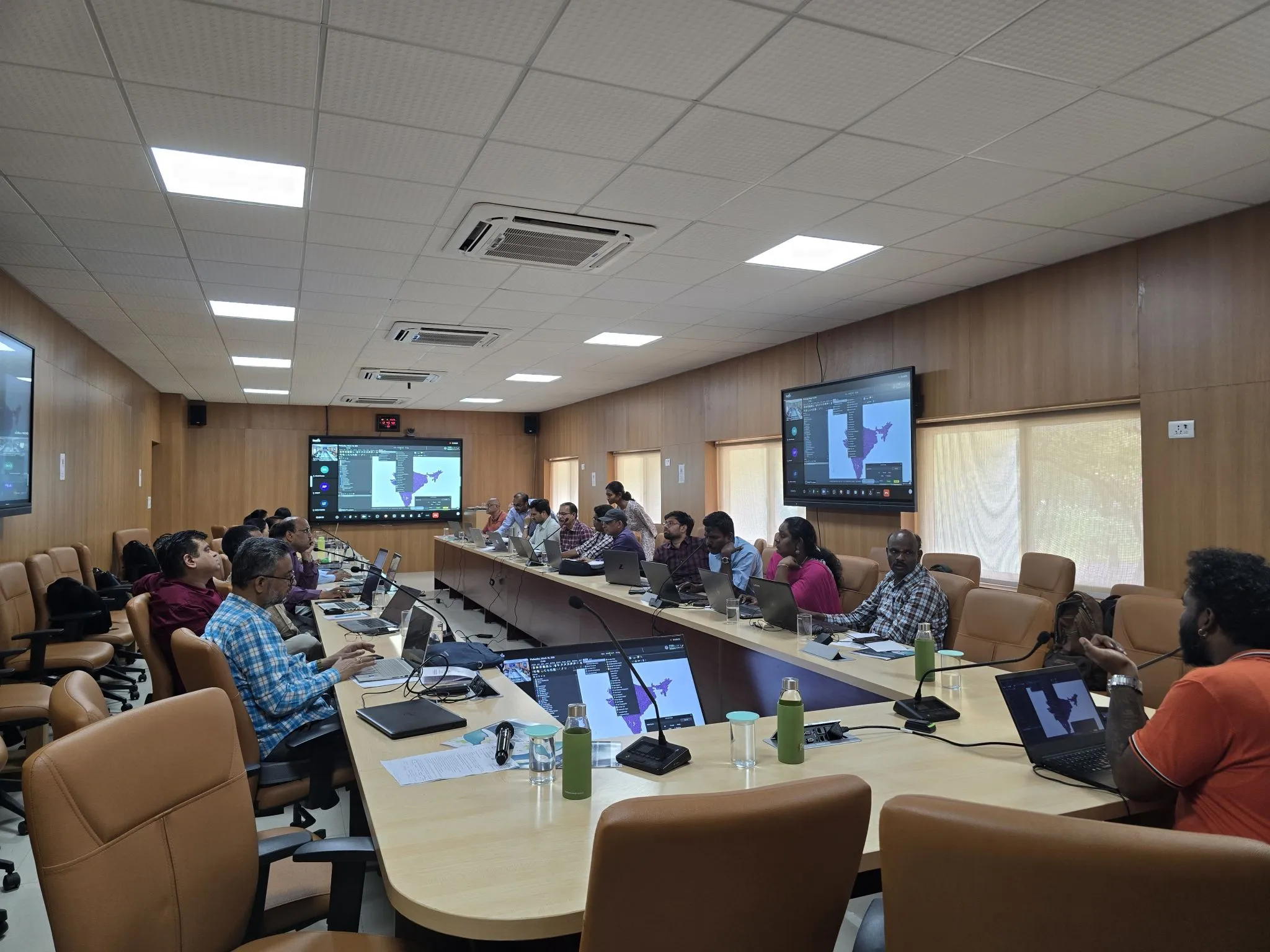
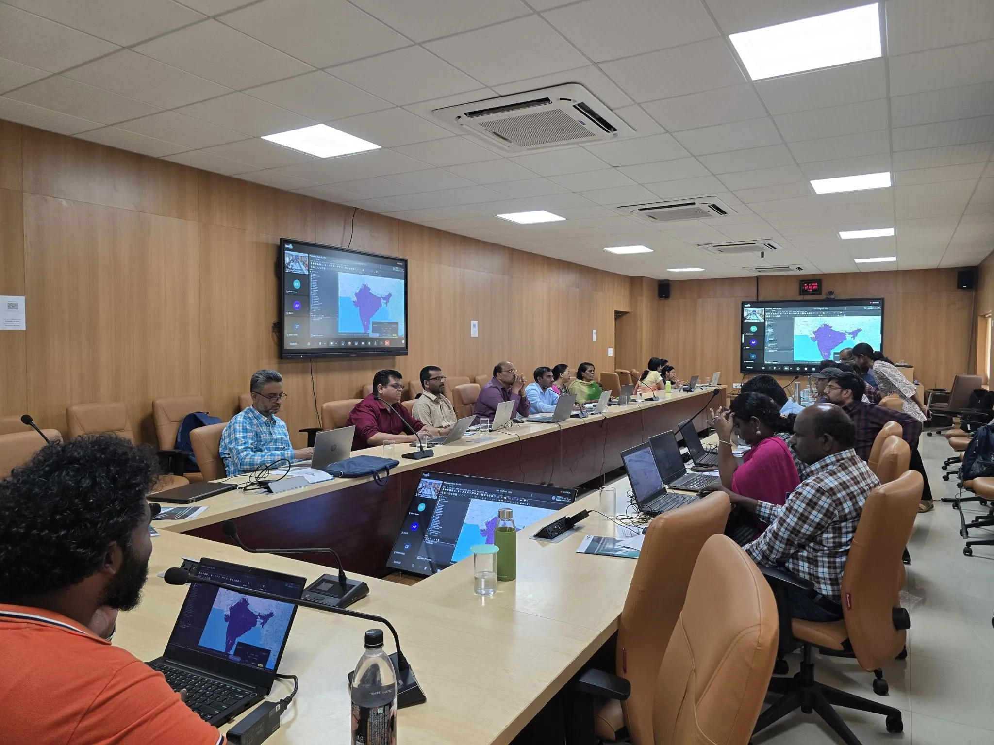
The three-day GDI Workshop at NIGST, Hyderabad, conducted for Survey of India officials, marked a comprehensive journey from foundational concepts to real-world geospatial applications.
Day 1: Focused on building a strong conceptual understanding of the Integrated Geospatial Data-sharing Interface (GDI), highlighting its role in enabling interoperable, standards-based geospatial systems. Participants explored the NGDR vision, UGI requirements under NGP-2022, and the importance of global standards such as OGC and STAC, complemented by a live platform walkthrough.
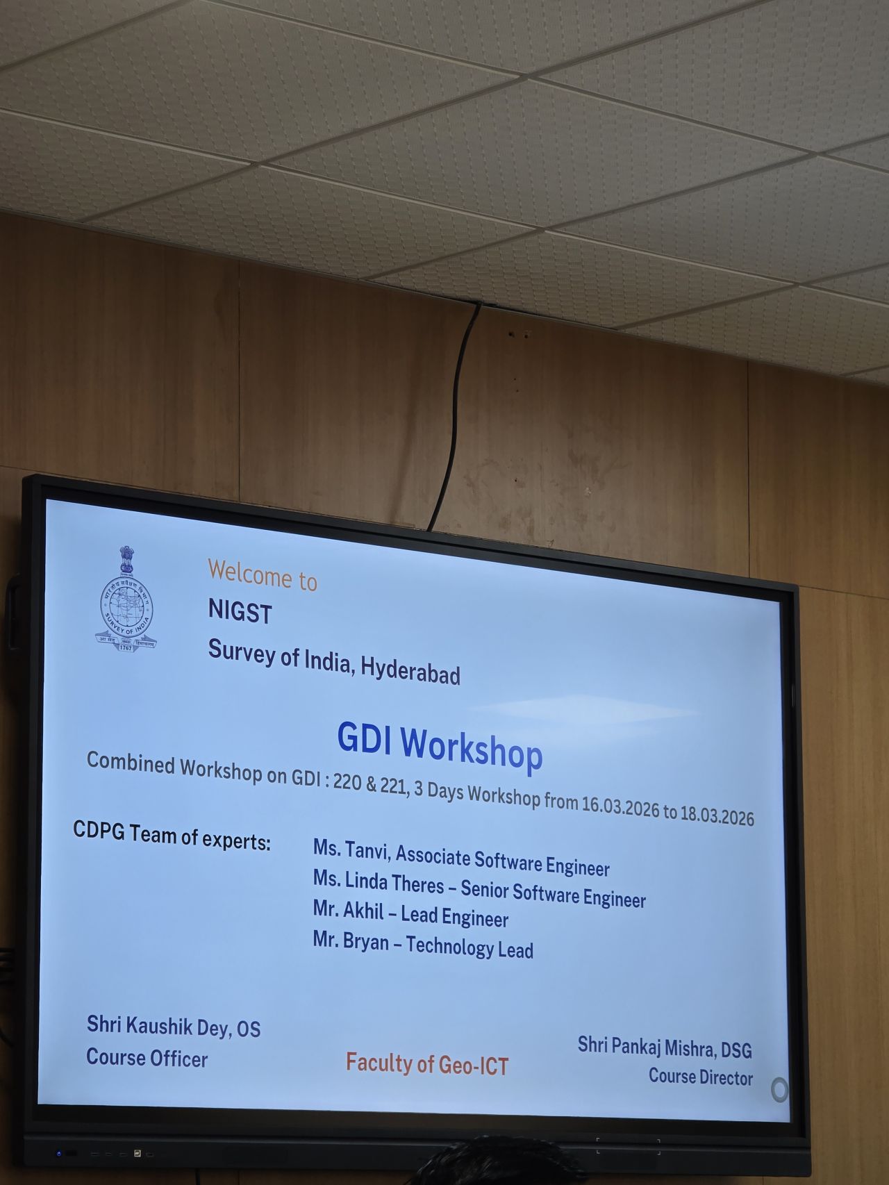
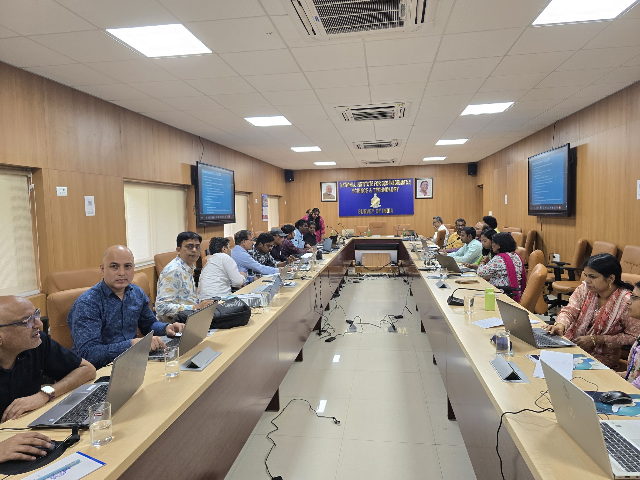
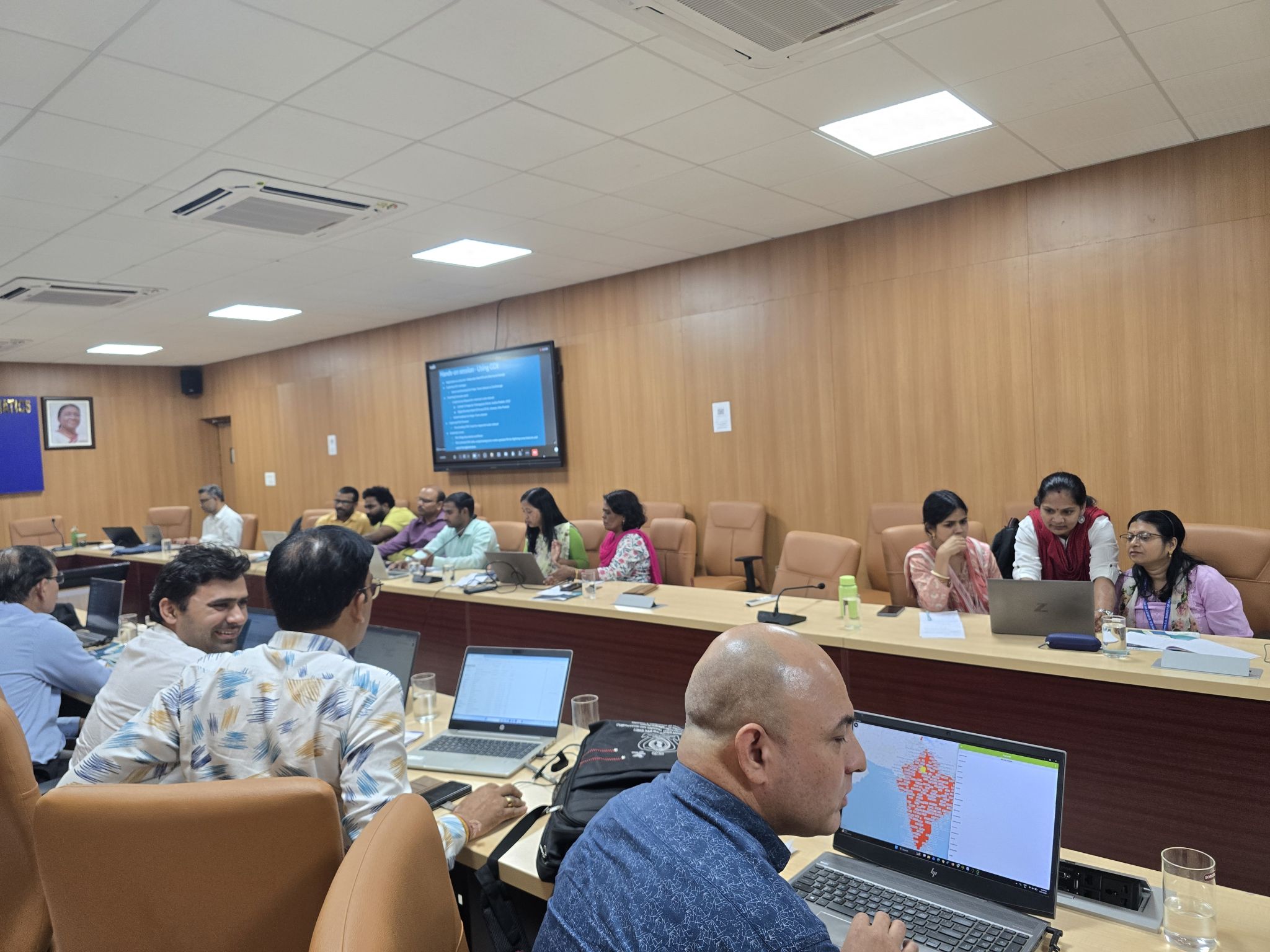
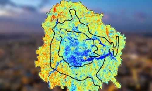
Day 2: Transitioned into hands-on learning, covering data onboarding workflows, consumer-driven data quality feedback, and the GDI Analytics Engine. Through practical Python-based exercises in vector and raster analysis, participants worked directly with real datasets, transforming theory into actionable insights.
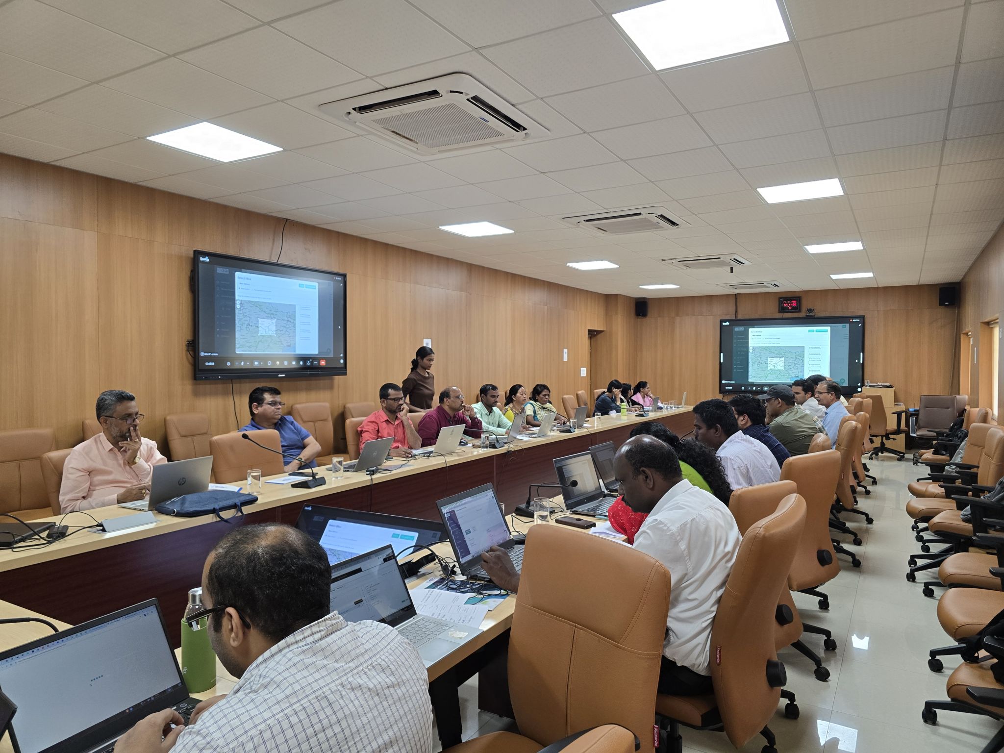
Day 3: The final day emphasized application and integration—introducing OGC API-based data access, QGIS plugin workflows, and sandbox-driven use cases. Participants explored how geospatial data can power dashboards, analytics, and decision-making tools. The workshop concluded with strong engagement and positive feedback, reflecting a significant step toward building a scalable, interoperable geospatial data ecosystem.
Related Posts


