Hydrological Runoff Estimation for Varanasi Using the SCS-Curve Number Approach
-
GDI
-
May 6, 2025
-
Blog
-
0 Comments
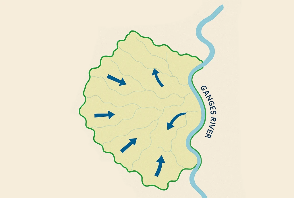
Introduction Runoff is a vital component in hydrological modeling, particularly in regions with seasonal rainfall such as India. The Soil Conservation Service Curve Number (SCS-CN) model is commonly used to estimate runoff by considering land use, soil type, rainfall, and Antecedent Moisture Conditions (AMC). This study applies the SCS-CN model to assess runoff in Varanasi, focusing on the Southwest Monsoon …
Continue Reading
A Geospatial Framework for Integrated Groundwater Quality Assessment Using Piper Plot and Water Quality Index
-
GDI
-
May 6, 2025
-
Blog
-
0 Comments
Introduction Groundwater forms the backbone of water security for millions across India, serving as a primary source for drinking, irrigation, and industrial use. Yet, as demand increases, groundwater contamination and over-extraction are growing concerns. This calls for the need for systematic and scalable groundwater quality assessment across diverse geographies. This study presents a modern, geospatially enabled approach to understanding groundwater …
Continue Reading
GDI Wins National Geospatial Practitioner Award 2024 for Advancing Open-Source Innovation
-
GDI
-
April 24, 2025
-
Blog
-
0 Comments
We are thrilled to share that the Integrated Geospatial Data-sharing Interface (GDI), developed at CDPG has been awarded the prestigious National Geospatial Practitioner Award (NGPA) at the National Geospatial Awards 2024 (Edition 01)! This esteemed recognition was conferred during the National Education Day celebrations held on November 11, 2024, and marks a major milestone for open geospatial innovation in India. …
Continue Reading
Accelerating Innovation: A Three-Day Sprint to Strengthen the Geospatial Developer Ecosystem
-
GDI
-
April 24, 2025
-
Blog
-
0 Comments
The recent three-day collaborative sprint brought together geospatial experts, developers, and data practitioners from both public and private sectors, all united by a shared mission—to advance the Integrated Geospatial Data-sharing Interface (GDI) and enrich the geospatial developer ecosystem. Hosted as a focused, hands-on sprint, the event was packed with coding, testing, discussions, and meaningful breakthroughs. Day 1: Setting the Stage …
Continue Reading
CDPG Conducts First Workshop on GDI for SOI Officers
-
GDI
-
April 24, 2025
-
Blog
-
0 Comments
CDPG successfully hosted its inaugural One-Day Workshop on the Integrated Geospatial Data-sharing Interface (GDI) on 14th November 2024. The workshop was held at the National Institute for Geo-Informatics Science & Technology (NIGST) in Hyderabad and was specially curated for officers from the Survey of India (SOI). Bringing together 17 officers from across the country, the workshop focused on equipping participants …
Continue Reading
An Overview of the GDI Python SDK
-
GDI
-
April 18, 2025
-
Blog
-
0 Comments
The GDI Python SDK is a command-line toolkit designed to streamline interaction with the Integrated Geospatial Data Sharing Interface (GDI), accessible at https://catalogue.geospatial.org.in. Built to support a wide range of geospatial workflows, the SDK enables users to efficiently access, process, and manage both vector and raster data within a unified, scriptable environment. With support for various storage backends including MinIO, …
Continue Reading
Landslide Damage Assessment, Wayanad, Kerala
-
GDI
-
April 9, 2025
-
Blog
-
0 Comments
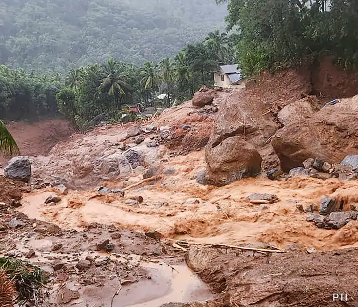
India is experiencing various forms of natural hazards including, earthquakes, landslides, floods, forest fires, cyclones, and drought etc. Among these, landslides are one of the more prominent and devastating natural hazards especially in the hilly areas of the country. The eastern part of Kerala state (Western Ghats) in southern India is highly prone to landslides due to its Physio‐climatic condition, …
Continue Reading
From Space to Soil: Leveraging Satellite and Weather Data for Flood Damage Assessment and Insurance Claims for Farmers
-
GDI
-
April 9, 2025
-
Blog
-
0 Comments
In an era where climate change is bringing more erratic weather patterns, the consequences of heavy rainfall and flooding on agriculture can be devastating. Farmers, particularly those reliant on seasonal crops, are often left in precarious situations, struggling to recover from lost yields. In the early September of 2024, in NTR district of Andhra Pradesh, this harsh reality recently came …
Continue Reading
Assessment of Urban Heat Island (UHI) in Bengaluru Using Earth Observation Datasets.
-
GDI
-
April 9, 2025
-
Blog
-
0 Comments
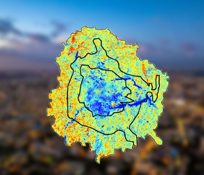
Rapid urbanisation causes several issues, including the Urban Heat Island (UHI) effect, where urban areas experience significantly higher temperatures than their rural surroundings. This is due to several factors associated with urbanisation, including the replacement of vegetation with buildings, roads, and other impermeable surfaces that absorb and retain heat. Additionally, heat emissions from industries and vehicles also contribute to the …
Continue Reading
Modelling Agricultural Land Suitability based on Soil Properties
-
GDI
-
March 24, 2025
-
Blog
-
0 Comments
Suitability studies in Geographic Information Systems (GIS) play a vital role in spatial planning and resource management by assessing the appropriateness of a given area for specific land uses based on various criteria. These studies integrate multiple datasets and analytical techniques to evaluate how well certain locations meet predefined requirements, thus guiding decision-making in sectors such as agriculture, urban development, …
Continue Reading
