Building Trust in Geospatial Data: A Customer Driven Data Quality Feedback Mechanism for GDI
-
GDI
-
February 9, 2026
-
Blog
-
0 Comments
When shopping online, we rely on product reviews to make informed purchasing decisions. A 4-star rated laptop with hundreds of user reviews gives us confidence about its performance, while a restaurant with consistent positive feedback becomes our go-to choice for dining. But what if the same principle could be applied to geospatial data? This is precisely what the Integrated Geospatial …
Continue Reading
AI and the Future of Geospatial: Transformation, Not Replacement
-
GDI
-
December 11, 2025
-
Blog
-
0 Comments
Summary of Keynote Talk by Peter Rabley, CEO, Open Geospatial Consortium: “Will AI Eat Geospatial?” With the advent of Generative AI, a question that intrigues the mind of the Geospatial community across the globe is “Will AI eat geospatial?” With rapid advances in this ‘more than disruptive’ technology that is artificial intelligence, many wonder whether traditional geospatial roles and processes …
Continue Reading
Integrating Spatial Analytics and Routing Algorithms for Flood Response: The FIRS Approach
-
GDI
-
December 11, 2025
-
Blog
-
0 Comments
Every monsoon, India braces itself for one of its most persistent natural hazards: flooding. It is driven by intense monsoons, cyclones, tsunamis, or earthquake-damaged dams failure causing extensive loss of life, infrastructure damage, and long term economic disruption. According to the National Flood Commission (1980), about 0.4 million km² of India’s area is affected by floods annually, including 0.037 million …
Continue Reading
CDPG IISC hosts India node to OGC OPEN STANDARDS CODE SPRINT in March 2025
-
GDI
-
November 6, 2025
-
Blog
-
0 Comments
Open Geospatial Consortium (OGC) is an international non profit organization that develops and maintains open geospatial data and location based services promoting data access, data sharing and interoperability. OGC code sprint is a collaborative and inclusive event which supports the development of open standards and applications that implement those standards. All OGC Standards are in scope for the code sprint, …
Continue Reading
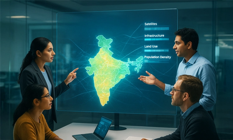
Breaking Data Silos: How GDI is Transforming Access to Geospatial Information in India
-
GDI
-
November 5, 2025
-
Blog
-
0 Comments
For years, some of India’s most valuable geospatial datasets remained scattered across government departments, research institutes, or private organizations. They held immense potential to transform logistics, strengthen climate resilience, and support smarter urban planning, but they remained difficult to access, buried in different formats and lacking interoperability. Recognizing this challenge, the Government of India through the Department of Science and …
Continue Reading
GDI federated node: Smarter way of sharing your data without giving it away!
-
GDI
-
November 5, 2025
-
Blog
-
0 Comments
Introduction Traditionally, data exchanges have relied on a centralized architecture — where both the control plane (responsible for cataloging, authorization, and access management) and data plane (where the datasets are stored and served) are hosted centrally. While functional, this model faces challenges of scalability, data governance, and security risks, especially as data volumes and contributors grow. The GDI federated architecture …
Continue Reading
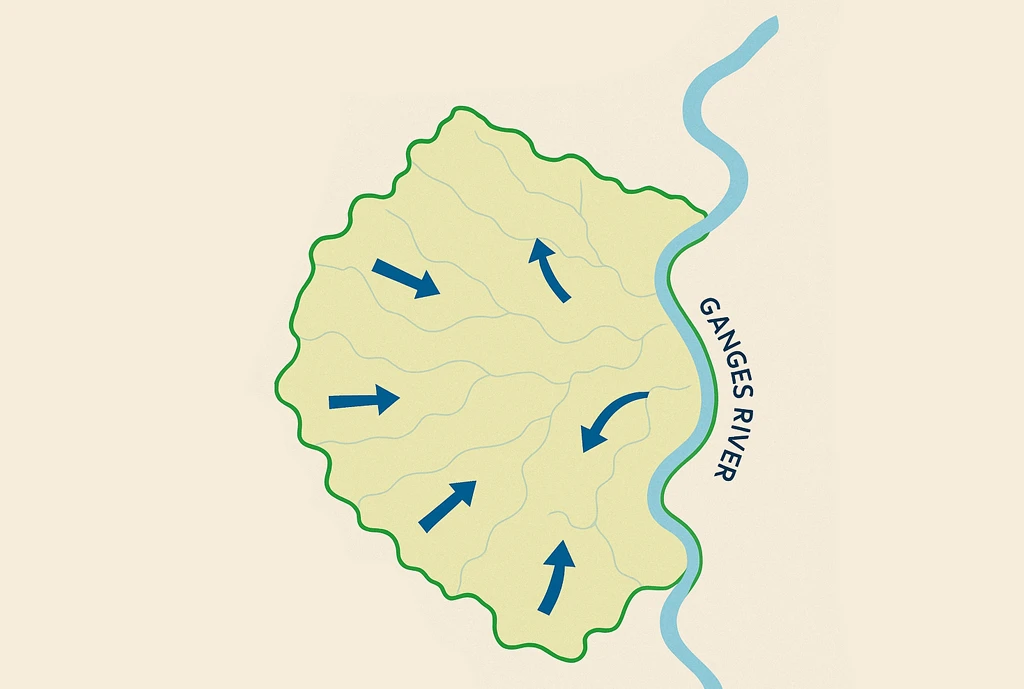
Hydrological Runoff Estimation for Varanasi Using the SCS-Curve Number Approach
-
GDI
-
May 6, 2025
-
Blog
-
0 Comments
Introduction Runoff is a vital component in hydrological modeling, particularly in regions with seasonal rainfall such as India. The Soil Conservation Service Curve Number (SCS-CN) model is commonly used to estimate runoff by considering land use, soil type, rainfall, and Antecedent Moisture Conditions (AMC). This study applies the SCS-CN model to assess runoff in Varanasi, focusing on the Southwest Monsoon …
Continue Reading
A Geospatial Framework for Integrated Groundwater Quality Assessment Using Piper Plot and Water Quality Index
-
GDI
-
May 6, 2025
-
Blog
-
0 Comments
Introduction Groundwater forms the backbone of water security for millions across India, serving as a primary source for drinking, irrigation, and industrial use. Yet, as demand increases, groundwater contamination and over-extraction are growing concerns. This calls for the need for systematic and scalable groundwater quality assessment across diverse geographies. This study presents a modern, geospatially enabled approach to understanding groundwater …
Continue Reading
GDI Wins National Geospatial Practitioner Award 2024 for Advancing Open-Source Innovation
-
GDI
-
April 24, 2025
-
Blog
-
0 Comments
We are thrilled to share that the Integrated Geospatial Data-sharing Interface (GDI), developed at CDPG has been awarded the prestigious National Geospatial Practitioner Award (NGPA) at the National Geospatial Awards 2024 (Edition 01)! This esteemed recognition was conferred during the National Education Day celebrations held on November 11, 2024, and marks a major milestone for open geospatial innovation in India. …
Continue Reading
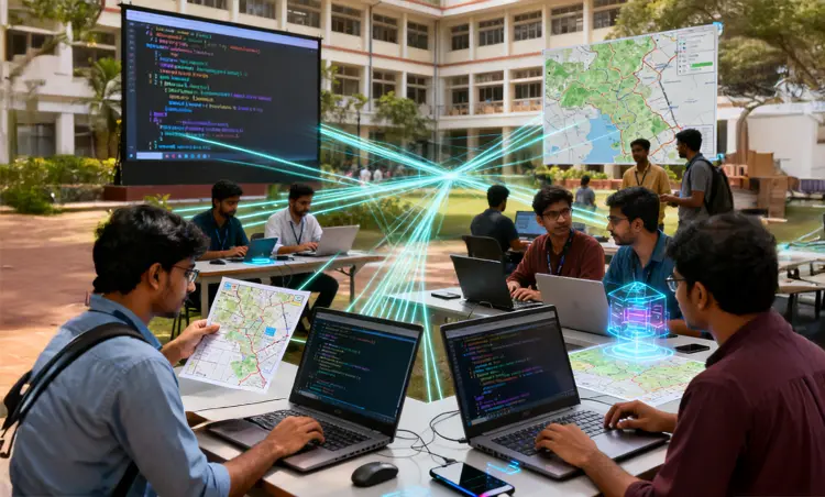
Accelerating Innovation: A Three-Day Sprint to Strengthen the Geospatial Developer Ecosystem
-
GDI
-
April 24, 2025
-
Blog
-
0 Comments
The recent three-day collaborative sprint brought together geospatial experts, developers, and data practitioners from both public and private sectors, all united by a shared mission—to advance the Integrated Geospatial Data-sharing Interface (GDI) and enrich the geospatial developer ecosystem. Hosted as a focused, hands-on sprint, the event was packed with coding, testing, discussions, and meaningful breakthroughs. Day 1: Setting the Stage …
Continue Reading