CDPG successfully hosted its inaugural One-Day Workshop on the Integrated Geospatial Data-sharing Interface (GDI) on 14th November 2024. The workshop was held at the National Institute for Geo-Informatics Science & Technology (NIGST) in Hyderabad and was specially curated for officers from the Survey of India (SOI).
Bringing together 17 officers from across the country, the workshop focused on equipping participants with a deep understanding of geospatial data exchange frameworks, modern architecture, and open standards. The sessions covered a range of key topics:
- The Idea of Data Exchange
A deep dive into the National Geospatial Data Registry (NGDR) and Urban Geospatial Infrastructure (UGI), aligning with the goals of the National Geospatial Policy 2022 (NGP-2022). - GDI Architecture
An in-depth walkthrough of the platform’s architecture, highlighting its adherence to global geospatial standards such as OGC (Open Geospatial Consortium) and STAC (SpatioTemporal Asset Catalog). - Data Exchange Technology
A technical overview of application processes, integration mechanisms, and real-world challenges in onboarding and managing geospatial data repositories. - #CDPG Use Cases
Demonstrating real-world implementations of GDI that are already contributing to impactful sectoral transformations.
The interactive format of the workshop fostered engaging discussions, particularly among the younger officers, who showed strong interest in the transformative power of geospatial data. The sessions not only informed but inspired—highlighting how strategic data sharing can accelerate development across sectors.
The day concluded with a summary session, participant feedback, and a valedictory ceremony—all underscoring the enthusiasm and promise that geospatial technologies hold for India’s future.
A heartfelt thank you to all participants for their active involvement, and to the organizing teams from CDPG, FSID, and NIGST for making this workshop a resounding success. Here’s to more collaborations, innovations, and milestones in the journey of geospatial data for public good!
Related Posts
- GDI
- April 9, 2025
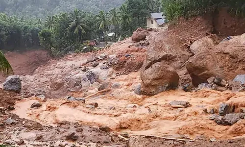
Landslide Damage Assessment, Wayanad, Kerala
India is experiencing various forms of natural hazards including, earthquakes, landslides, floo ..
- GDI
- March 24, 2025
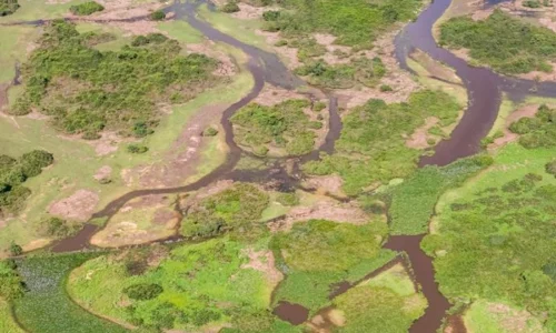
Mapping Natural Drains From Contour Data
Natural drains act as channels that collect and transport surface water, influencing ecosystems ..
- GDI
- May 6, 2025
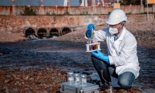
A Geospatial Framework for Integrated Groundwater Quality Assessment Using Piper Plot and Water Quality Index
Introduction Groundwater forms the backbone of water security for millions across India, servin ..


